Home /
All-Hazard Statewide Outdoor Warning Siren System

learn more about the All-hazard Statewide Outdoor Warning Siren System
Siren Fast Facts

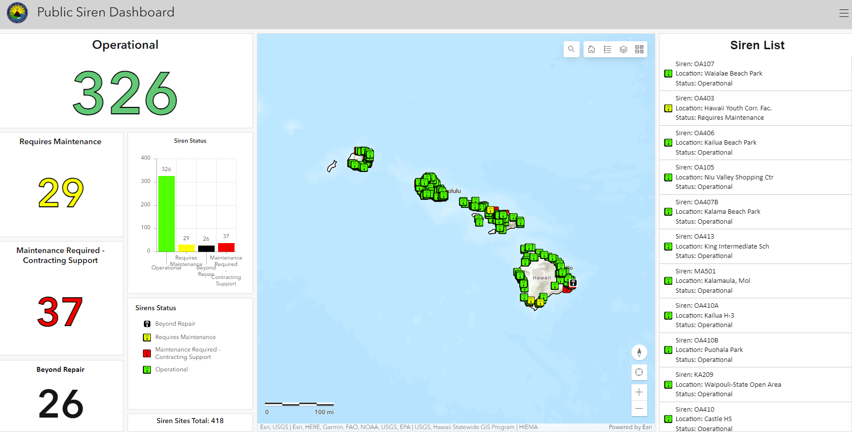
- Hawaiʻi has the largest single integrated Outdoor Siren Warning System for Public Safety in the world.
- The all-hazard siren system can be used for a variety of both natural and human-caused events; including tsunamis, hurricanes, dam breaches, flooding, wildfires, volcanic eruptions, terrorist threats, hazardous material incidents, and more.
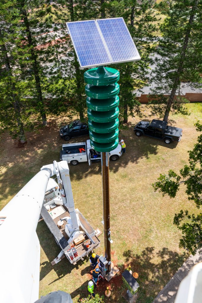
- The sirens output is 121 decibels and propagate with a manufacture radius of 3400ft. This range may vary due to environmental and surrounding physical conditions. The sirens are battery-powered and use a photovoltaic charging system.
- The sirens are one part of the larger Hawaiʻi Statewide Alert and Warning System (SAWS) which includes FEMA’s Integrated Public Alert & Warning System (IPAWS) which used both the Emergency Alert System (EAS) and Wireless Emergency Alerts (WEA) to alert the public.
- The sirens, along with the EAS, are tested on the first business day of each month in collaboration with County Emergency Management/Civil Defense Agencies and local Radio/TV/Cable broadcast partners.
- When a siren tone is heard other than a scheduled test, tune into local Radio/TV/Cable stations for emergency information and instructions by official authorities. Alerts may also come in form of a Wireless Emergency Alert.
